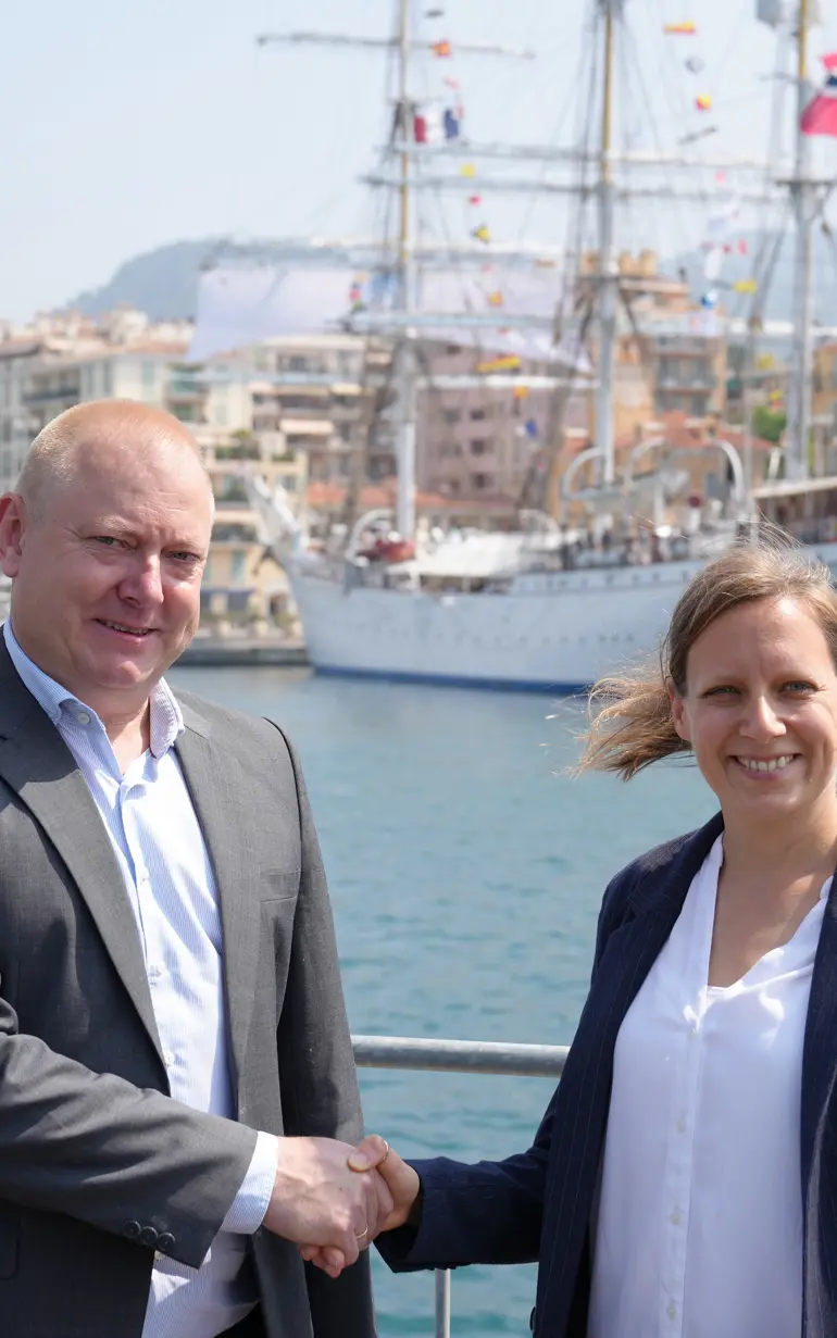
New partnership between DHI and PlanBlue to strengthen ocean health and coastal resilience
DHI and PlanBlue announce a new strategic partnership, signed at the recent UN Ocean Conference in Nice. This collaboration brings together DHI’s global expertise in marine and coastal services with PlanBlue’s innovative ocean monitoring technologies, enabling new ways to monitor, protect and sustainably develop the world’s oceans.
PlanBlue, based in Germany, is a deep-tech company specialising in high-resolution seafloor imaging and smart data analytics. Their proprietary system provides detailed, geo-referenced visual data that support precise and repeatable ocean monitoring. Their value lies in translating seafloor imagery into actionable environmental metrics to support habitat classification, biodiversity assessment and long-term marine planning.
‘At a time when data-driven solutions are essential for addressing the ocean crisis, this partnership will enhance how we measure and manage underwater environments,’ said Ole Larsen, Director of Strategic Partnerships at DHI.
Together, DHI and PlanBlue will accelerate the delivery of tools that support ecosystem protection, smarter infrastructure planning and transparent decision-making in marine projects.
‘Our partnership allows us to go deeper – literally and figuratively – in understanding the seabed and supporting better decisions for ocean health. We will strengthen biodiversity mapping, enhance our services for sustainable marine infrastructure and help our clients make informed decisions based on sound data and science,’ Ole Larsen said.
Technology for healthier oceans
The partnership will focus on making complex marine data more accessible, visual and usable for stakeholders – from government agencies and NGOs to ports, energy companies and coastal cities.
With PlanBlue’s advanced underwater imaging technology and DHI’s environmental modelling and advisory services, the joint solutions will enable:
- Mapping and protecting marine habitats, including seagrass meadows, coral reefs and artificial coastal structures such as harbour walls, helping authorities plan marine protected areas and assess ecosystem health over time.
- Minimising the ecological footprint of infrastructure projects through precise baseline data, improved impact assessments and ongoing monitoring.
- Accelerating restoration initiatives, such as coral regrowth or habitat recovery following dredging, by using data to guide interventions and evaluate their effectiveness.
- Supporting nature-inclusive design in offshore energy and coastal protection projects, ensuring developments are aligned with biodiversity goals.
These applications align closely with DHI’s commitment to advancing the UN Ocean Decade goals and building the knowledge base for more resilient and sustainable coasts.
‘This is about making the invisible visible – turning ocean data into actionable insights for healthier ecosystems,’ said Dr. Hannah Brocke, co-founder of PlanBlue.
The partnership will roll out with joint projects in Europe, the Middle East and Southeast Asia with a focus on habitat mapping, coastal development and sustainable marine operations.
How can we help?
With our global network of offices, we make sure you get the right answers to your local needs. Tell us about your water challenges and we will get back to you.