
MIKE+
Streamline the management of diverse water systems
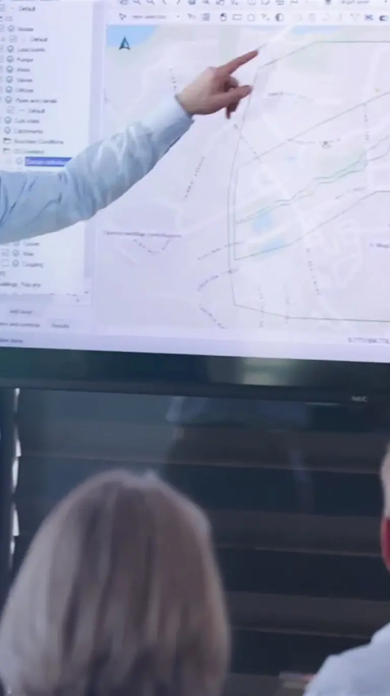
MIKE+ is a comprehensive platform featuring integrated modules and tools designed to model, analyse, and manage various aspects of water systems. These include pipe networks, rivers, tidal areas, and more. By simplifying modelling and consolidating technology, MIKE+ empowers users to optimise water management strategies, make informed decisions, and bolster the sustainability and resilience of global water infrastructure.
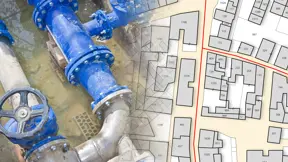
For water utilities, MIKE+ allows you to meet regulatory compliance, optimises hydraulic network performance, streamlines operations, reduces non-revenue water, and effectively manages leaks. Developers benefit from insights into safe development areas, minimising environmental and economic impacts while maximising project efficiency. It aids flood management professionals in identifying solutions to mitigate heavy rain and surface pollutants, assess flood control measures, and implement real-time flood forecasting systems for urban and rural areas alike. Urban planners rely on MIKE+ to craft climate adaptation plans and design resilient, sustainable urban solutions.
Why choose MIKE+?
No in-house modellers?
Get our expert modellers on board for your consulting projects either as a partner, to provide extended user support, or for model and project reviews. Submit an inquiry
Core and specialised modules
Model Manager
The core of the MIKE+ user interface
Rely on this universal application for model management, configuration, and results presentation. With its smart layout and intuitive workflows, you’ll be modelling in no time.
Water Distribution
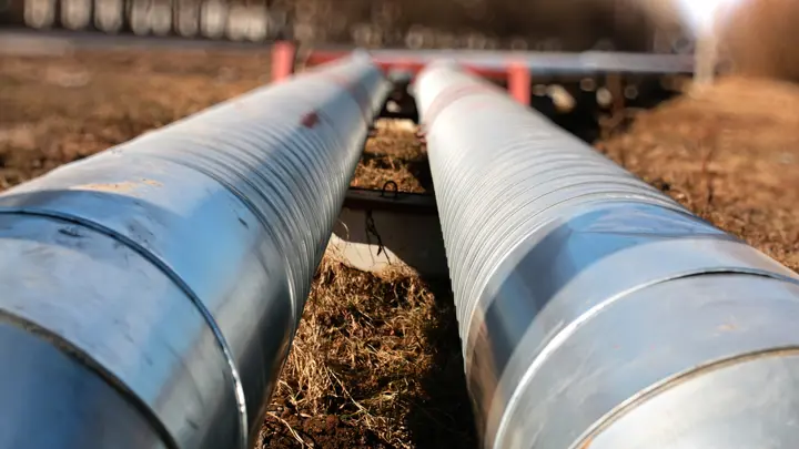
Dynamic water distribution modelling
Perform hydraulic and water quality modelling, gain control of pumps and valves and reduce leaks. Plan network sectioning, analyse fire flows and trace multiple sources.
Collection Systems
Stormwater and wastewater analyses
Model and analyse the hydrology and hydraulics of your collection system. Design real-time controls, assess resilient solutions, and manage both stormwater and wastewater collection systems.
Rivers
River modelling - reinvented
Analyse river flows, assess hydrological changes, and estimate pollution transport to mitigate disasters and improve water quality.
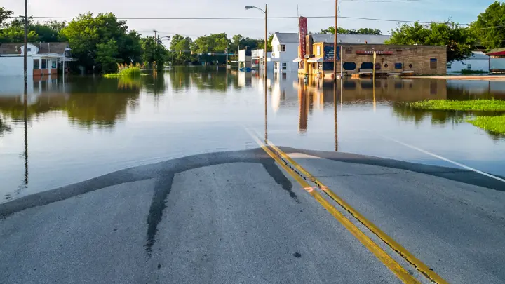
2D Overland
Get the full picture on flooding
Predict the impact of flood events, identify risks, and evaluate mitigation measures for climate adaptation and emergency response plans.
Transversal modules

MIKE+ Rainfall Runoff
Prepare multiple rainfall-runoff models in one simulation including Time-Area, Kinematic Wave, LIDS, linear reservoir, Storm Water Quality, and UHM.

MIKE+ Control

MIKE+ Transport

MIKE+ ECO Lab*

MIKE 3 Flow Model FM

MIKE+ Data Assimilation
Integrate real-time river data to update models, improve forecasts, and assess uncertainty.
* The MIKE+ Transport module is required for MIKE+ ECO Lab process modelling.
MIKE+ ArcGIS
Combine MIKE+ with ArcGIS Pro capabilities and open the door to industry-leading Esri software.
MIKE+ ArcGIS gives you access to sophisticated spatial processing technology to make you more efficient in preparing spatial data or when analysing and visualising model outputs. Plus, rivers, 2D overland, and SWMM data are all supported - together with their results in 1D and 2D.
Let's get started
Learn how your project can benefit from this integrated urban, river, and flood modelling platform.
You may also like
Related technologies
MIKE+ 2D Overland
Predict flood impacts, identify risks, and propose effective mitigation measures.
MIKE+ Collection Systems
Accurately represent flow conditions and efficiently manage stormwater and wastewater.
MIKE+ Model Manager
Manage, configure and present the results of your MIKE+ models.
How can we help?
With our global network of offices, we make sure you get the right answers to your local needs. Tell us about your water challenges and we will get back to you.
