
DHI PlumeCast
Plume dispersion assessments made simple
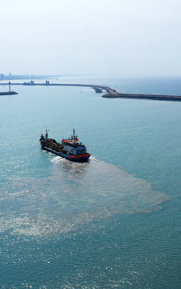
DHI PlumeCast is a cloud-based marine plume dispersion assessment application designed for analysing sediment plumes and modelling conservative or non-conservative substances such as bacteria and heavy metals. It equips consultants, regulators, utilities, and contractors with the tools to make fast, informed decisions—without requiring complex modelling expertise. By combining advanced environmental modelling with real-time data integration, DHI PlumeCast streamlines planning and compliance, reduces costs and optimises every stage of marine project operations—from design to execution.
The cloud-based platform eliminates the need for costly software installations and IT maintenance. Intuitive visual reporting tools make it easy to share results with regulators and stakeholders through secure, controlled access to the platform.
Interested in DHI PlumeCast?
Contact UsHow does DHI PlumeCast help?
Areas of application

Environmental Impact Assessment
Quantify and assess environmental impacts to support project evaluations and regulatory approvals.

Optimised dredging and disposal planning
Enhance dredging and disposal efficiency with regard to the risks of sediment spill and plume dispersion

Regulatory compliance
Streamline environmental compliance reporting by quickly assessing impact thresholds and generating automated reports.

Proactive management of sediment spill
Use real-time data and scenario forecasting to adapt dredging activities against compliance thresholds and proactively minimise the risks of environmental impacts.

Assess the dispersion of pollutants

Stakeholder communication
Visualise and present environmental data effectively in stakeholder meetings and regulatory discussions.

Permit applications
Quantify environmental impacts to streamline and expedite permitting processes.

Data centralisation
Provide a centralised database for consultants and authorities to access and download consistent data.
Additional capabilities & unique features
Explore our latest support resources, including guides, videos, and FAQs in our Knowledge Base.
Project-specific configuration
Each model in DHI PlumeCast is tailored to the specific project, featuring a custom mesh and configurations that account for site-specific conditions and complexities.
Real-time integration of advanced modelling and field data
DHI PlumeCast enables seamless access, live visualisation and processing of data from any source including:
- Point measurements (0D)
- Profile measurements (1D)
- Transects (2D-v)
- Satellite images (2D-h)
- Drone images (2D-h)
Hindcast simulations
Leverage dredge logs to document and verify compliance through hindcast simulations.
Intuitive web portal
Access default modelling results and statistical analysis directly through an easy-to-use online portal.
Cloud accessibility
DHI PlumeCast runs in the cloud, eliminating concerns about software availability, computational power and storage capacity. Users can analyse plume data from anywhere, with no local installation needed.
Advanced visualisation
Generate maps and animations of Total Suspended Sediment Concentration, accumulated net deposition rates, bed thickness and more.
Get started
From planning to compliance, DHI PlumeCast streamlines every step in the process. Ready to simplify your approach to marine plume assessments?
You may also like
Related technologies
ABM Lab
Study the impact of aquatic disturbances on habitat connectivity, migration, and populations.
LITPACK
Simulate littoral processes and coastline kinetics for effective coastal management.
MIKE 21 Shoreline Morphology
Model long-term coastal evolution to efficiently address real-world engineering challenges.
How can we help?
With our global network of offices, we make sure you get the right answers to your local needs. Tell us about your water challenges and we will get back to you.


