
Bathymetrics Data Portal
Download reliable, high-quality water depth data
Coastal environments play a crucial role in impact studies and construction activities, necessitating accurate mapping of dynamic changes. However, the current global coastal maps suffer from outdatedness and low quality.
To address this challenge, we present the world's first Bathymetrics Data Portal, which utilises reliable water depth data to aid disaster relief efforts and time-critical scenarios. Whether you choose a subscription or opt to purchase data by the square kilometer, you can save costs while avoiding the time-consuming field surveys, permitting complications and safety risks involved. The portal's satellite-based approach allows seamless integration of your data with onshore, subsurface and other project data, making it an ideal solution for remote areas and harsh environments.
Want to learn more?
Contact UsResources
How does Bathymetrics Data Portal help?
Areas of application

Coastal Hydrodynamic Modelling
Deliver precise coastal zone predictions and assessments through advanced hydrodynamic modelling.

Efficient Engineering Planning
Get on-demand resource to save time and resources, allowing for early project feasibility assessments and identification of challenges.

Enhancing Maritime Safety
Equip national authorities and hydrographic offices with the latest territorial waters data to reduce navigational hazards and improve maritime safety.
Get started
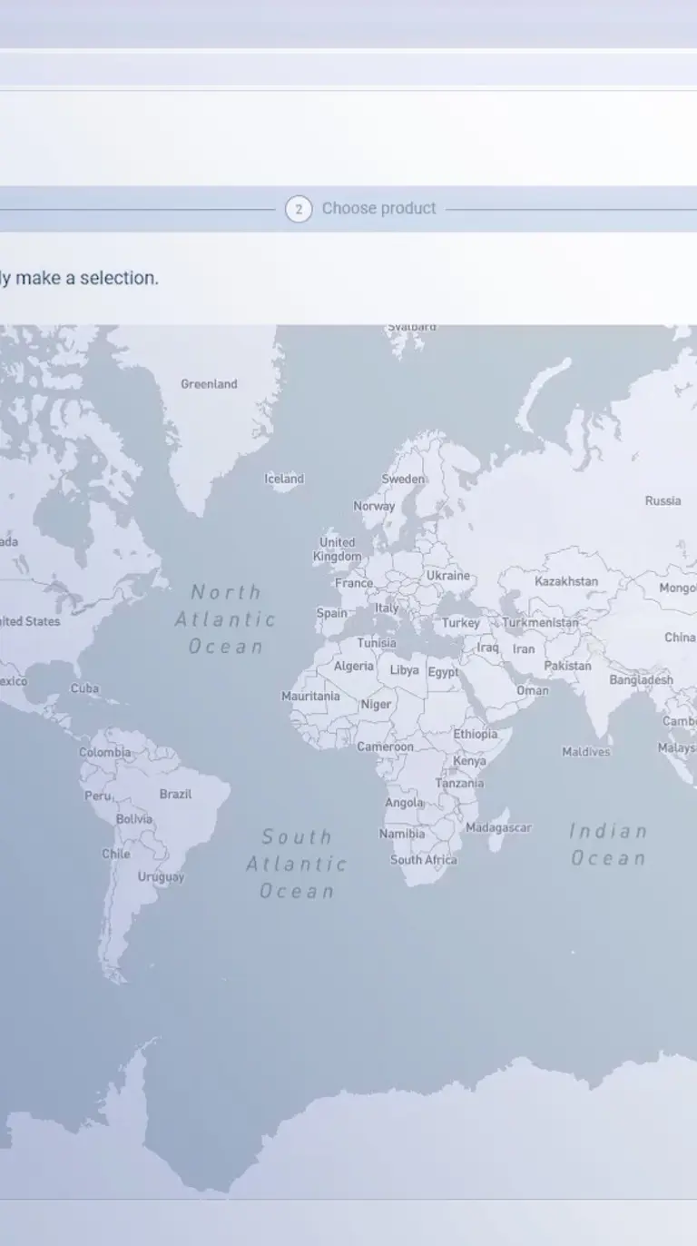
Simply define your area of interest on the map to begin exploring data options and associated pricing. Once registered, you can then purchase and instantly download your selected data.
Contact us
Contact us for a personalised demo and with any questions on this innovative mapping product.
You may also like
How can we help?
With our global network of offices, we make sure you get the right answers to your local needs. Tell us about your water challenges and we will get back to you.


