Protect marine and coastal environments with nature in focus
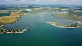
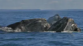
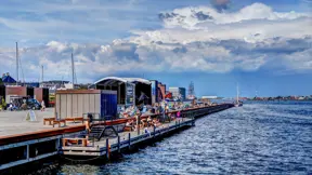
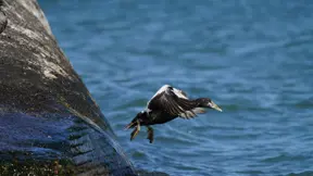
Marine and coastal environments are under pressure from increasingly violent weather events, which continue to escalate in frequency and force. At the same time, coastal cities, ports and marine infrastructures are growing in both number and scale. Biodiversity is also under threat from human activities and pressures, such as pollution, overexploitation and invasive species. Together with climate change impacts, these factors challenge both the natural and built environments. Coastal solutions must therefore be flexible and adapted to work in harmony with nature – not against it.
Nature-based solutions from start to finish
Marine and coastal environments are dynamic, continuously reshaped by the natural forces of waves, tides and surges. To ensure long-term functionality, sustainability and cost-effectiveness, developments in these areas must be designed and implemented with a clear understanding and respect for local, natural physical and biological processes. This is also DHI’s approach: working with nature from start to finish.
DHI partners with clients in the public and private sectors – including governments, non-profits, insurance, real estate developers and the shipping industry, for example – to protect shorelines from coastal hazards, support coastal development and safeguard ecosystems with nature-based solutions (NbS). We support all phases of NbS implementation by providing specialised and science-based advisory services, tailored to the scale and needs of each project throughout its entire life cycle.
Locally relevant solutions for complex environments
As leaders in nature-based solutions, we help our clients address social and environmental challenges by leveraging natural features and processes tailored to the local environment. Our local presence and global experience, commitment to R&D and advanced technologies enable us to develop sustainable solutions to address future climate and development challenges – with nature in focus.
