WMO report highlights increasingly erratic water cycle
The world’s water cycle is becoming increasingly erratic, with societies caught between worsening droughts and devastating floods. This is the key finding of the new State of Global Water Resources 2024 report released by the World Meteorological Organization (WMO).
‘Water sustains our societies, powers our economies and anchors our ecosystems. And yet the world’s water resources are under growing pressure and – at the same time – more extreme water-related hazards are having an increasing impact on lives and livelihoods,’ said WMO Secretary-General Celeste Saulo. ‘Reliable, science-based information is more important than ever before because we cannot manage what we do not measure. The WMO’s State of Global Water Resources Report 2024 is part of WMO’s commitment to provide that knowledge.’
The new State of Global Water Resources 2024 report by WMO shows that 2024 was the hottest year on record, beginning with an El Niño event that contributed to severe drought in South America and southern Africa, while at the same time Central Europe, Asia and parts of Africa faced wetter-than-normal conditions. Only one third of global river basins experienced ‘normal’ conditions – the rest had either too much or too little water.
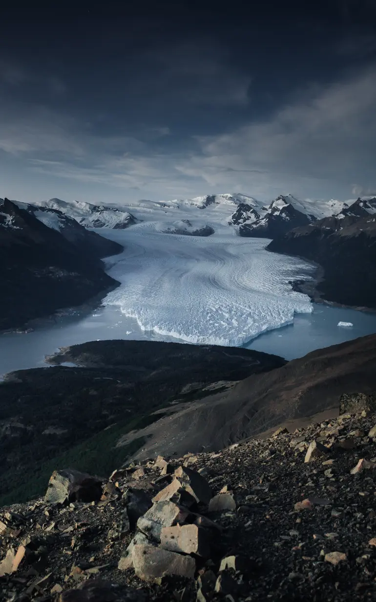
The imbalance extends beyond rivers. For the third consecutive year, glaciers worldwide suffered mass losses, adding about 1.2 millimetres to global sea level in a single year. Extreme events followed: Europe saw its most extensive flooding since 2013, Africa’s tropical zone recorded unusually heavy rainfall displacing 4 million people, and Brazil was hit by both catastrophic floods and persistent drought.
The report highlights the critical need for improved monitoring and data sharing.
‘Continued investment and enhanced collaboration in data sharing are vital to close monitoring gaps. Without data, we risk flying blind,’ said Celeste Saulo.
An estimated 3.6 billion people face inadequate access to water at least a month per year and this is expected to increase to more than 5 billion by 2050, according to UN Water, and the world falling far short of Sustainable Development Goal 6 on water and sanitation.
DHI’s contribution
DHI supported the report with data from the DHI Global Hydrological Model. The model combines high-resolution satellite information with global datasets on weather, rivers, lakes, reservoirs, soil and landscapes. This makes it possible to estimate water conditions even in places without direct measurements. By filling these gaps, the DHI Global Hydrological Model improves global water mapping and gives decision-makers better information in regions where data is scarce.
By supporting WMO’s efforts to build a clearer picture of global water resources, DHI helps bring science into practice for more informed water management worldwide, aligning with our mission to enable a sustainable future for water and water environments.
About the WMO report
The annual State of Global Water Resources Report is one of a suite of WMO reports which provide intelligence and insights to decision-makers. It is an authoritative assessment of global freshwater availability, including streamflow, reservoirs, lakes, groundwater, soil moisture, snow and ice. It is based on data contributed by WMO Members, as well as information from global hydrological modelling systems and satellite observations from a wide range of partners.
About DHI’s Global Hydrological Model
A Global Hydrological Model is a tool for looking at hydrology from the perspective of the Earth as one interconnected system, rather than disconnected and isolated parts. They are basically used for better understanding, predicting and managing water resources on regional, national and global scales. DHI-GHM is unique in the way it handles areas with limited or no local observations. Because it directly accounts for the detailed physical characteristics of landscapes using satellite data, the results from these data-scarce areas are highly reliable and useful in situations where monitoring is a challenge.
Access the report and learn about DHI's Global Hydrological Model
How can we help?
With our global network of offices, we make sure you get the right answers to your local needs. Tell us about your water challenges and we will get back to you.