Mapping submerged navigational hazards in the Arctic
Satellite tool enables detailed large-scale mapping to make it safer to navigate Greenland’s arctic waters
Climate change is widening the areas of operation in the Arctic, with ice-free conditions enabling the expansion of economic activities, access to natural resources and opening of new shipping routes. However, navigating in Arctic waters poses significant challenges due to the lack of precise nautical charts. This leaves mariners reliant on personal experience and onboard equipment, which is inadequate as decision support in route planning outside existing routes. Together with the Royal Danish Navy, DHI has developed a satellite-data-based tool enabling safer navigation in the coastal Arctic waters of Greenland. In collaboration with the Nordic Institute in Greenland, local knowledge is now being included in this tool, enabling stakeholders across the Arctic to plan routes for a wide range of civil and naval tasks, improving safety for local communities and the fragile marine environment.
Challenge
Maritime activities in the Arctic are growing, and the region is becoming increasingly important from a geopolitical perspective. But it is not easy to navigate in the Arctic region as nautical charts are generally not up to date, and the positional accuracy is often inadequate even in the close vicinity of settlement areas. Maritime operations in the Arctic are therefore often associated with navigational risks. This hinders tasks and activities such as recreational navigation, operating commercial or scientific vessels and search-and-rescue operations.
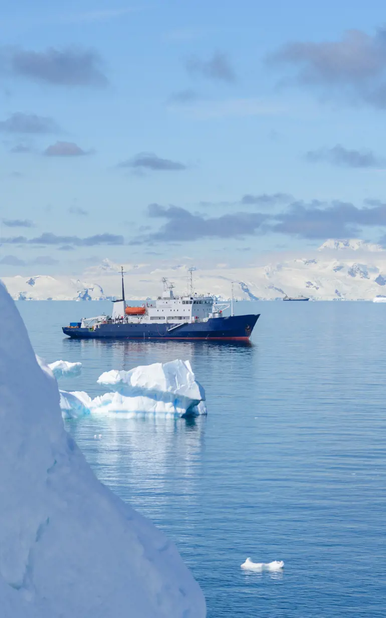
To ensure that these activities can be carried out safely, local stakeholders need a risk-mapping solution to improve navigation in remote areas with little or no chart coverage. This need was highlighted by the grounding in 2023 of the cruise liner Ocean Explorer. The ship got grounded in the remote Alpe fjord in Northeast Greenland because of insufficient hydrographic data. Luckily, there were no human or environmental catastrophes.
Solution
To address the challenges, DHI worked with key Arctic stakeholders including the Royal Danish Navy, to develop a satellite-based tool called NANOKnavi. Nanok means polar bear in Greenlandic.
The Nordic Arctic Co-operation Programme, administered by the Nordic Institute in Greenland helped finance the investigation of how local expert knowledge can enrich and validate the machine-learning-based NANOKnavi data product. By bridging local knowledge and satellite-based mapping in collaboration with Greenlandic and Swedish first responders, Greenlandic pilots and Greenlandic tourist operators, the novel NANOKnavi data products are benefitting sustainable development for the people of the Nordic Arctic.
The tool minimises navigational risk and increases environmental situational awareness by mapping submerged rocks, intertidal zones and coastlines and is ideal for shallow depth areas in the remote and poorly charted areas across the Arctic region. The mapping is based on DHI’s automated remote sensing processing chains, including a proprietary machine-learning model based on open-source satellite data, validated against in-situ multi-beam echo-sounding data. By using satellites to map the coastal zone, dangerous shallow waters across vast regions can be mapped very quickly – a task that would be impossible with any other technologies such as traditional vessel-based surveys or drones.
A key aspect in the development of NANOKnavi was the involvement of local navigators to make sure that their knowledge and experience with the local waters were included in the final solution. And that their navigational needs were met to ensure the safety of everyone.
Results
Building on satellite data, users can be certain that their GPS position matches their position on the NANOKnavi map. Relying on detailed and up-to-date satellite data instead of decades-old surveys, NANOKnavi equips navigators with an overview of subsurface hazardous rocks, tidal zones and coastlines.
The result is peace of mind for navigators of the Arctic waters around Greenland, whether it is a local fisherman, a captain on a naval ship or a cruise ship or environmentalists seeking to protect marine life and biodiversity in the Arctic region.
Funding partner:
Nordic Arctic Co-operation Programme
Location:
Greenland
Sweden
Related SDG(s):
SDG 14: Conserve and sustainably use the oceans, seas and marine resources for sustainable development
Technology:
NANOKnavi
‘Arctic Boat Charter has contributed to the validation of DHI's satellite-based rock mapping (NANOKnavi) and gained insight into the possibilities it opens. In combination with its user-driven approach incorporating local knowledge we see good opportunities that the NANOKnavi can serve as decision support for route planning, identification of alternative routes, anchorages as well as identification of navigational risks.’
Erik Palo Jacobsen
Captain and Owner, Arctic Boat Charter
About the funding partner
This project is co-financed by The Nordic Arctic Co-operation Programme, administered by NAPA - the Nordic Institute in Greenland. NAPA – The Nordic Institute in Greenland is a cultural institution under the Nordic Council of Ministers and is situated in Greenland’s capital Nuuk.
You may also like
How can we help?
With our global network of offices, we make sure you get the right answers to your local needs. Tell us about your water challenges and we will get back to you.


