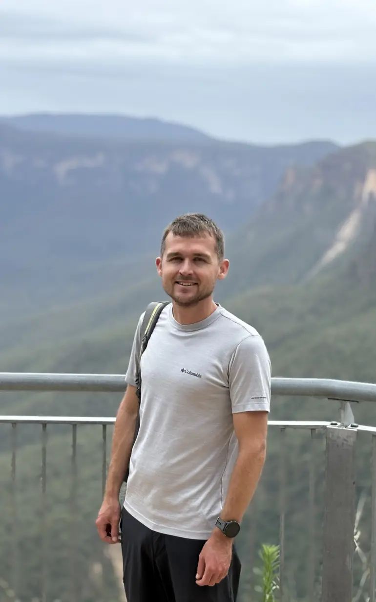
From Denmark to Down Under: A remote sensing journey across the globe
Daniel Druce joined DHI in 2017, not long after moving to Denmark to begin his MSc at Copenhagen University. While looking for industry experience, he attended a lecture featuring some of DHI’s Earth Observation work, connected with the team, and the rest is history. Today, he is a remote sensing specialist at DHI's Earth Observation Centre of Excellence and is based in Sydney, Australia. Read on to discover his journey from Denmark to Down Under, what drives his passion for wetlands and how remote sensing is reshaping conservation efforts worldwide.
Q: Hi Daniel! What prompted your move from our headquarters in Denmark to the Sydney office?
After several years in Denmark, I was keen for a new challenge. I’d always been curious about Australia — the lifestyle appealed, I have family in New Zealand, and with DHI’s international presence, the move felt like a natural step. With support from my manager, the leadership team and country manager, I relocated to Sydney in 2023.
It’s been a great experience. The team is supportive and motivated, and being here helps raise the visibility of our Earth Observation (EO) work across the APAC region — something that’s harder to do from Europe. And outside of work, Sydney’s not a bad place to be — right now it’s whale season, and you can spot humpbacks migrating along the coastline!
Q: You’re very much involved in Global Wetland Watch, an initiative that supports countries in protecting and restoring wetlands. Please tell us more about the work you do!
Yes! Alongside a fantastic team, I’m proud to be part of Global Wetland Watch. We support countries in monitoring and restoring wetlands by closing data gaps and aligning with global frameworks, particularly Target 6.6 of Sustainable Development Goal 6, which calls for the protection and restoration of water-related ecosystems.
Monitoring wetlands isn’t easy — they’re incredibly diverse, from coastal intertidal zones to upland peat bogs, and often difficult to map consistently. Many countries still lack reliable data on their extent and condition. That’s where we come in: using satellite data and other tools to provide more consistent, accessible and decision-ready information. This not only supports SDG 6.6, but also global efforts like the Ramsar Convention and the Convention on Biological Diversity’s 30x30 target. After all, you can’t manage what you don’t measure.
Just as important as the data is the collaboration. Our work brings together expertise in ecology, remote sensing, policy, machine learning and storytelling. We also learn a great deal from our pilot countries, where local insights help shape practical, grounded solutions.
Q: What’s one of the most surprising or impactful discoveries you've made through your work with wetlands?
Two key insights stand out. First, nature-based solutions like wetland restoration can reduce flood risks, improve water quality and store carbon. One interesting function is their ability to accumulate nutrients like phosphorus, sometimes at high levels. While this may seem problematic, it highlights their role as natural filters, trapping pollutants before they reach rivers and coasts. Because wetlands are resilient, restoring them to a more natural state often delivers longer-lasting, more effective benefits than engineered fixes.
Second is the vital role of local communities and landholders. They’re deeply connected to wetlands — not just for wellbeing, but for livelihoods, identity and culture. These complex ecosystems require careful management best led by knowledgeable, hardworking environmental stewards who deserve recognition and support. Empowering them strengthens conservation and creates opportunities for both people and nature.
Q: How do you see remote sensing evolving in environmental research and conservation over the next few years?
Remote sensing is constantly evolving, with new satellites, sensors, datasets and methods opening fresh opportunities each year. While it has traditionally been used to monitor broad ecosystem changes, advances in resolution, sensor diversity and data availability are now enabling more detailed, local-scale applications — shifting EO from research products to tools with real-world policy and operational impact.
For example, forest mapping was once the focus, but now remote sensing routinely provides insights like canopy height, biomass and species distribution. Integrating EO into monitoring systems is increasingly important for policies such as the EU Deforestation-Free Products Regulation, which encourages the use of EO to monitor supply chains and verify that commodities like palm oil, cocoa, coffee, rubber, soy, cattle and wood do not come from recent deforestation. This marks a major shift in how EO supports environmental governance and responsible sourcing.
Overall, EO is evolving from primarily a research tool into one that increasingly informs practical conservation and environmental management, especially when paired with local knowledge and policy engagement.
Q: What’s a fun fact about you that people would be surprised to know?
I’ve always loved being outdoors and exploring nature. In the past, I did some long-distance cycle touring — an amazing way to see new places and meet people. More recently, I’ve been getting into long-distance running as another way to experience beautiful trails, especially around Sydney. I’ve really enjoyed the races I’ve done so far, including one organised by DHI colleagues in Borneo. If you know of any great trails or events, or fancy joining me for a run, let me know!
'Monitoring wetlands isn’t easy — they’re incredibly diverse, from coastal intertidal zones to upland peat bogs, and often difficult to map consistently. Many countries still lack reliable data on their extent and condition. That’s where we come in: using satellite data and other tools to provide more consistent, accessible and decision-ready information.'
Daniel Druce
Remote Sensing Specialist, Earth Observation Centre of Excellence, Australia
